Field Notes
The best data on this coast comes from people standing in it.
Field Notes is the community half of TideEx. Every beach we add, every water line someone measures, every "this cove is unreal at a minus tide" tip goes in here — and it all feeds straight back into the map.
You don't need a science degree or a gauge. A pin at the right beach, an honest note about what it's good for, and the occasional reading against a dock piling is real data. Enough of those and a stretch of coast that used to be guesswork becomes predictable.
Add TideEx to your phone
Install it like an app for quick access in the field, even offline.
Add a spot
Drop a pin on the beach, cove, reef, or break you actually use. Tell us what it's good for — tidepooling, seaweed, surf, snorkel — and set the tide window that makes it worth the drive.
Log a tide reading
Measure the water line against something known — a ruler, a piling, a marked rock — note the time, and log it. Those readings are how we tune a prediction to your beach.
Explore the map→
Search a beach or town, filter by activity, and see the closest gauge and community spots to wherever you're standing.
Coast Guide→
Harvest limits, licences, closures and tidepool etiquette for Washington, Oregon and California — plus what each access tag on a pin means.
Tidings→
Guided low-tide walks, harvest classes and community meetups scheduled against a real tide window.
Our mission→
Why two seaweed sisters started building a better tide map, and where we're headed with coverage-gap work and local sensors.
Help & guided tours→
New here? Take a two-minute tour of the map, planner, and ownership lines — or report a bug, glitch, or request with a screenshot attached.
Coast rules & access→
Brackish & Co’s guide to seaweed harvest, tidepool, snorkel, and spearfishing rules across Washington, Oregon, and California — with a map of open beaches and protected reserves.
Latest from the community
- ref: Admiralty Head
Whidbey Island — Ledgewood Beach
Seaweed harvesting · Low tide exploration
- ref: Point Partridge, Whidbey Island
Fort Ebey State Park
Seaweed harvesting · Low tide exploration
- ref: Bellingham
Larrabee State Park — Wildcat Cove
No activity window set
- ref: Bellingham
Clayton Beach (Larrabee)
Low tide exploration
- ref: Bellingham
Teddy Bear Cove
Low tide exploration · Seaweed harvesting
- ref: Bellingham
Marine Park — Fairhaven
Low tide exploration
- ref: Bellingham
Boulevard Park Beach
Low tide exploration
- ref: Bellingham
Locust Beach
Low tide exploration · Seaweed harvesting
- ref: Bellingham
Little Squalicum Beach
Low tide exploration
- ref: Bellingham
Chuckanut Bay Tidelands
Low tide exploration · Seaweed harvesting
- ref: Blaine, Semiahmoo Bay
Semiahmoo Spit
Low tide exploration
- ref: Village Point, Lummi Island
Lummi Island — Legoe Bay
Low tide exploration · Seaweed harvesting
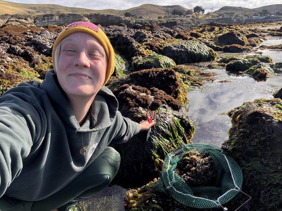
What a good note looks like
How your notes get used
- • New spots go on the map and get paired to the nearest official NOAA gauge.
- • Your readings are compared against that gauge to calculate a local time and height offset.
- • Beaches with the worst gauge distance rise to the top of our coverage-gap list.
- • That list is what we use to decide where a new sensor or partnership goes next.