Our mission
Tide predictions as close to your beach as possible
A map-first tide explorer for the people who plan their whole day around the water: low-tide adventurers, seaweed harvesters, surfers, and snorkelers.
Most tide apps give you a pin for the nearest harbor or buoy — often miles from the beach you’re trying to read. That distance matters. A headland, a bay, or a shallow reef can shift the timing and height of the water by enough to turn a great harvest into a soaked afternoon. We think you deserve predictions that sit as close to your spot as possible.
Beach-by-beach predictions→
We start with official NOAA data, then let the community drop pins at the exact beach, cove, or harvest spot. Offsets and local observations help tune the curve to the place you’re standing.
Citizen-science logging→
A photo of the water line next to a known reference point — a ruler, a rock, a dock piling — can become a ground-truth data point. Add spots and log readings in Field Notes.
Activity windows→
Low tide exploration, seaweed harvest, surf, and snorkel each want a different height and time of day. TideEx shades the curve so the right window is easy to spot at a glance.
Coverage-gap mapping→
We score every beach by its distance to the nearest official station. That map shows where a new sensor, a volunteer logger, or a partnership with a local marina or tribe would help the most.
Coast rules & access→
Before you head out, check Brackish & Co’s guide to seaweed harvest, tidepool, snorkel, and spearfishing rules across WA, OR, and CA — including open beaches and protected reserves.
How this started
TideEx began with two seaweed sisters, a tide app, and a beach it didn’t know about. We were planning harvests around a pin sitting miles up the channel, doing the mental math in the Subaru Outback with the EATKELP plates, and still guessing wrong often enough to lose the window entirely.
We kept waiting for someone to fix it. Eventually we admitted the someone was us — so we started marking our own spots, comparing what the charts said to what the water actually did, and building the tool we already wished we had in our pockets.
It’s still that: a working notebook, kept by people with wet boots, open to anyone who wants to add what they know.
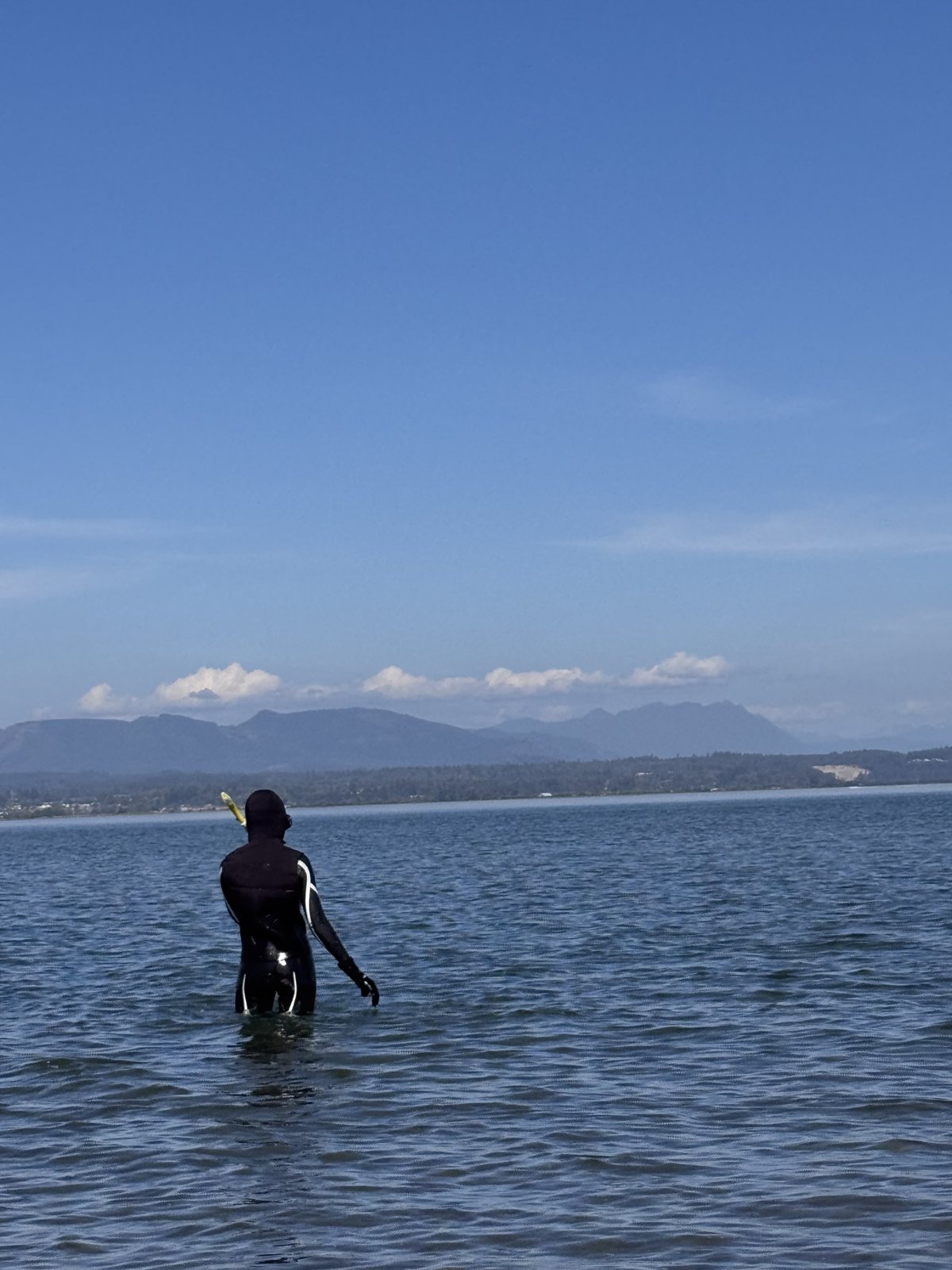
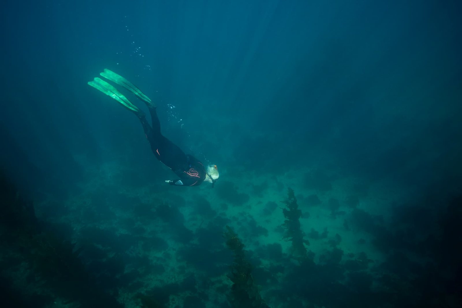
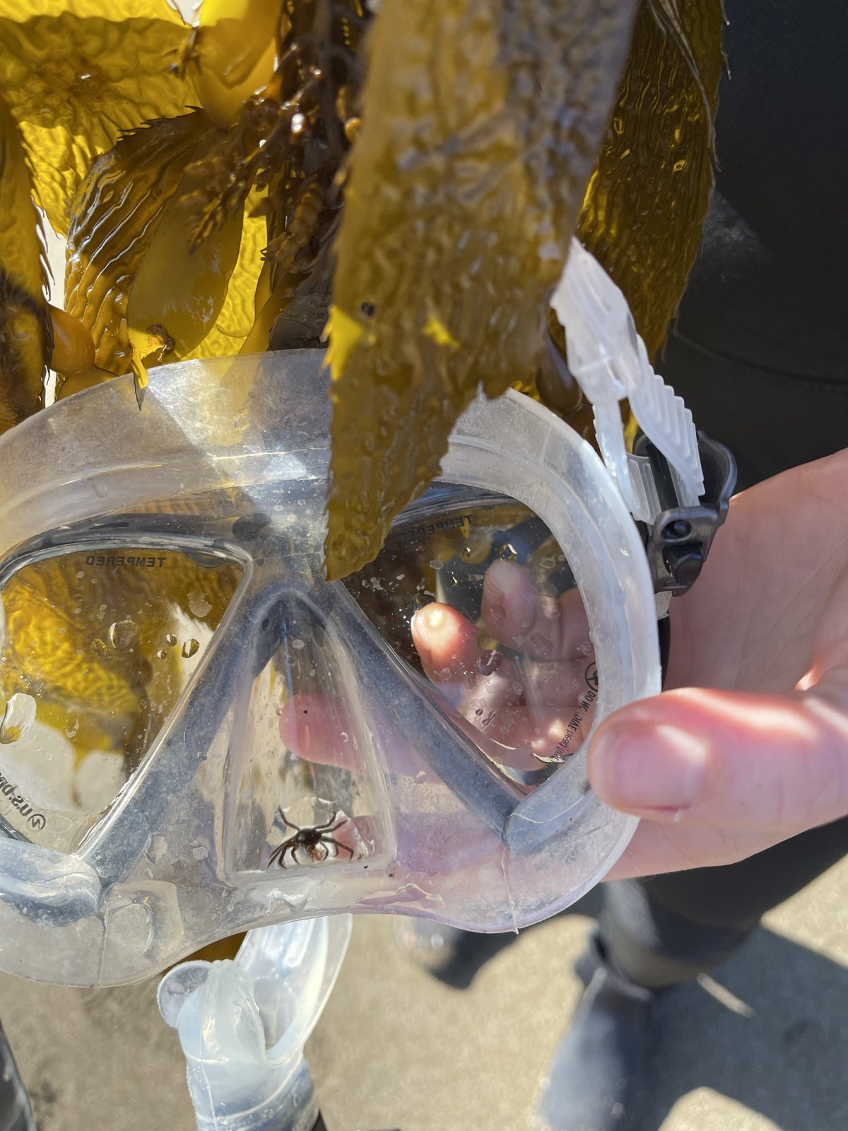
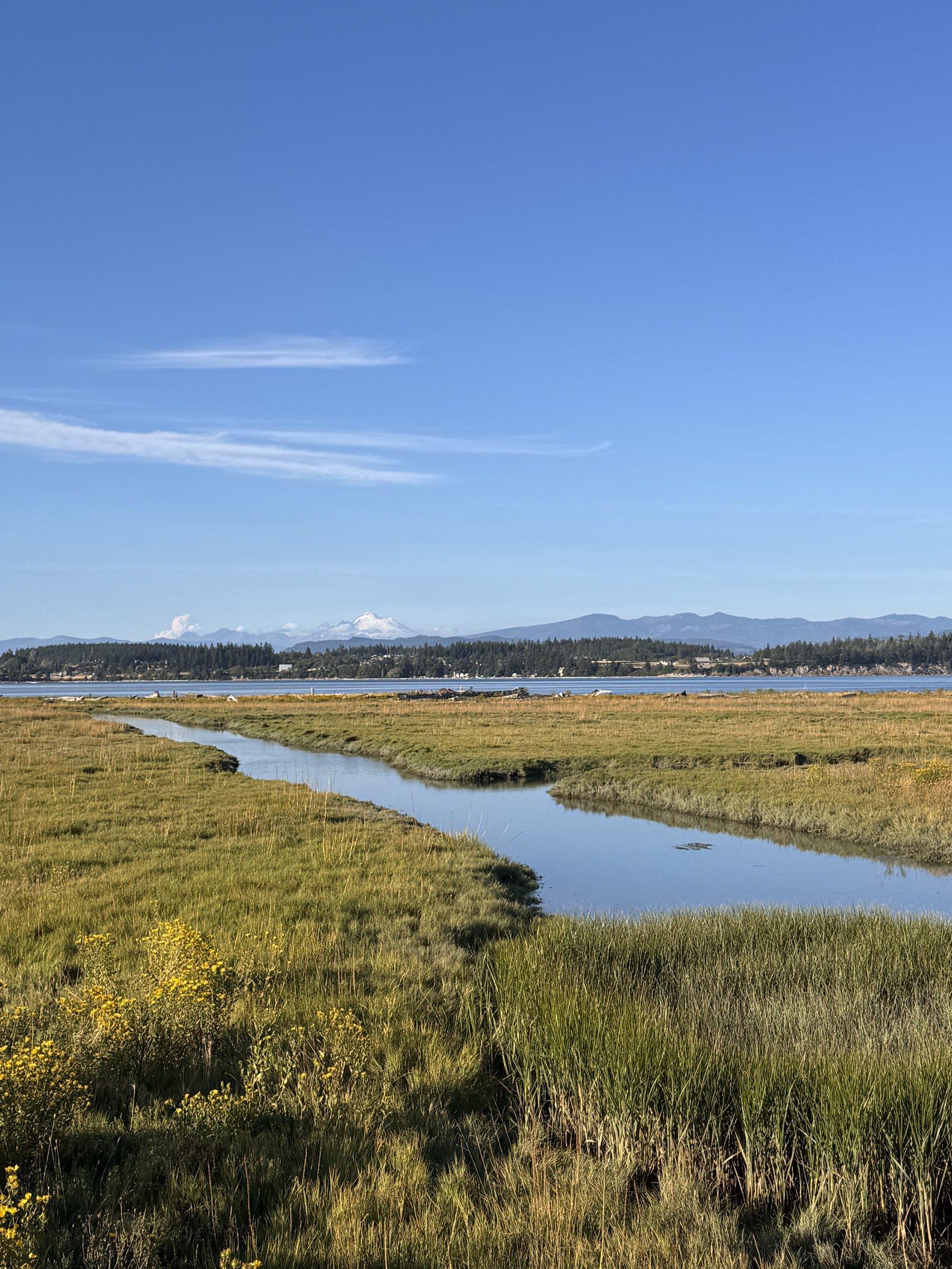
Field days on Camano and around the Salish Sea.
Our mission
To make tide knowledge as local, accurate, and accessible as possible for the people who rely on it most. We believe the best coastal data comes from a mix of trusted public sources, local knowledge, and community stewardship — and that the tools should be free, open, and easy to use.
TideEx is a project of Brackish & Co, a small studio building tools for coastal communities and the people who care for them. If you want to help — by measuring a tide, sharing a spot, or supporting the project — you’re exactly who we built this for.
Get involved
- • Drop a pin at your favorite beach or harvest spot and set its ideal tide window.
- • Log an observation with a photo and a ruler to ground-truth a prediction.
- • Flag a beach where better data is needed and we’ll prioritize coverage work.
- • Chip in to keep the tool free and fund starter gear for volunteer sensors.